The island was formed by lava flow, as indicated by its undulating terrain. Towards the end of the Spanish colonial period, the Cape Engaño lighthouse was built on the island. Palaui Island was declared a military reserve on May 22, 1967 and as Palaui Island Protected Landscape and Seascape on August 16, 1994, both by presidential proclamation. It was named part of the Cagayan Special Economic Zone and Freeport by a republic act dated February 14, 1995.
The island’s only village is Punta Verde. The local residents make their living through farming and fishing.
My Backpack at the last kilometer post of Sta. Ana, Cagayan, Philippines.
My friends and I (in hand stand hehehe) enjoying the beautiful view of Cape Engano.
 |
| Lou and Ronard at thier own world |
 |
| A view of Faro de Cabo Engaño or the Cape Engaño lighthouse stands upon a hill in the northern end of the island, 92.75 m above sea level. |
 |
| There is no other way to reach Cape Engaño except for this fishing boat manuvered only by expert local fishermen. |
 |
| A frame within a frame view of Dos Hermanos islands |
 |
| Sunset view at the lighthouse |
 |
| Sunrise view at the lighthouse |
 |
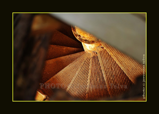
| A glipse of the old staircase of the lighthouse. |
 |
| Overview of Cape Engaño |
 |
| Faro de Cabo Engaño or the Cape Engaño lighthouse |


No comments:
Post a Comment